Skip the traffic and explore the southern suburbs’ connected trail network
By Brittany Anas
Several times a week, no matter the season, Bryan Vogel makes the 17-mile commute from his home in Parker to Pedal, a full-service bike shop in Littleton where he works as general manager. His route feels almost effortless thanks to a connected web of trails that link the C-470 Bikeway, Lee Gulch and High Line Canal trails, and the Mary Carter Greenway Trail along the South Platte River. Vogel, who prefers riding a gravel bike, notes that his commute rarely requires him to ride on roads, allowing him to move through the suburbs entirely on trail systems designed for cyclists.
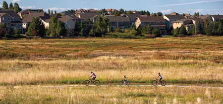
While Colorado is widely known for its challenging mountain biking and steep alpine routes, the southern suburbs offer an extensive network of paved and gravel trails that support commuting, recreation, and family-friendly riding. Local cyclists and shop experts highlight the Mary Carter Greenway Trail in particular for its accessibility and the way it connects riders directly to nearby businesses in Littleton. Riders can easily stop for coffee, pastries, or meals at local spots such as Born2Bake, making the trail both practical and social.
The rise in cycling across the region has been further supported by the growing popularity of e-bikes, which have made biking more accessible to a wider range of people while also promoting greener commuting options. Even with recent reductions in Colorado’s statewide e-bike tax credit, interest in electric-assisted cycling continues to grow as residents look for convenient and sustainable transportation alternatives.
One of the most popular routes in the area is the Mary Carter Greenway Trail, which stretches about 8.5 miles from Chatfield State Park to Englewood along the South Platte River. The paved path offers a flexible experience, allowing riders to stop at destinations like Angelo’s Taverna, the Farm House at Breckenridge Brewery, and The Hudson Gardens, or explore downtown Littleton’s shops. The trail also connects to recreational attractions such as Aqua Golf, a water-based driving range and mini-golf course. Named after local conservation advocate Mary Carter, the greenway attracts hundreds of thousands of users each year and remains one of the busiest recreational corridors in the metro area.
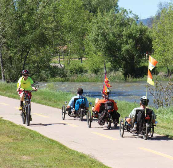
Another major route is the High Line Canal Trail, a 71-mile path originally built in the 1880s as an irrigation system to transport water from the South Platte River to early settlers and farmers. Today, it serves as a heavily used recreational trail that spans multiple jurisdictions and connects thousands of acres of open space. The trail is also known for its wildlife, including more than 200 bird species, and scenic landmarks such as the Denver Polo Club area and its well-known oversized wagon bench.
A third key route is the Colorado Front Range Trail, a developing regional corridor that aims to stretch 876 miles from Wyoming to New Mexico. Sections like the 15-mile paved segment in Castle Rock, completed in 2023 with support from a Great Outdoors Colorado grant, demonstrate ongoing efforts to connect neighborhoods, downtown areas, and larger regional trail systems. When fully completed, the trail will link communities along the Front Range, creating continuous access for both commuting and recreation while tying into existing routes like the Cherry Creek Regional Trail into Denver.